Markvartice
This web is dedicated to the small part of Northern Bohemia, located between the Elbe river canyon and Lusatian Mountains (kanon Labe a Luzicke Hory), region of the wonderful nature and the harmonious country architecture.
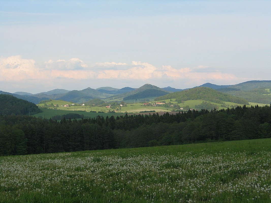
Markvartice, Northern Bohemia
Bike trips and contemporary photos of the exceptionally nice region-specific architecture are balanced by a set of historical postcards from the region. Enjoy the beauty of the nature and nice folk architecture.
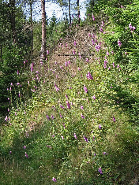
Foxglove (Digitalis purpurea) at Lusatian Mountains
The start point of our trip is Markvartice.
Markvartice is located amidst a noteworthy region of wooden half-timbered houses (Umgebindehauses) at the border region of Bohemia, Saxonia and Silesia.
Thanks to her location at the foothills of Lusatian Mountains, at the local railroad from Děčín to Jedlová, Markvartice is a perfect start point of the bike trips up to the Lusatian Mountains or to Bohemian-Saxonian Switzerland. The train acts as a comfortable cableway carrying us up to the very heart of the Lusatin Mountains, to the forest railway station Jedlová at the altitude of 555 meters above the sea. From there, we may descend down by the Kamenice creek back to Markvartice, or we may drop down to Bohemian-Saxonian Switzerland via Chřibská and Jetřichovice villages.
Markvartice is located at the boundary of three nature regions: to the north, there is CHKO Labské Pískovce and České Švýcarsko National Park, to the east, there is CHKO Lužické Hory, to the south, there is CHKO České Středohoří then.
Markvartice from Ruzovsky vrch
While Českosaské Švýcarsko a Lužické Hory are interweaved by a dense network of turistical paths and bicycle routes, a territory to the south of Markvartice is a real no-man's land of desolated, abandoned walleys, where a forest game is more at home then human beings.
Bystrá creek flowing through Markvartice is an approved trout water, rich in fish and popular among anglers.
Substantial part of the web is dedicated to tourism at the region - photogalleries of touristic trails, interactive maps of trails, data sets for Android phone mapping apps.
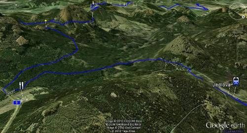
Interactive 3D map of a bicycle trail
Jedlová - Klíč - Panská Skála - Kamenický Šenov - Markvartice
(Google Maps)
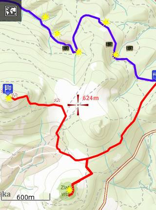
A map of a bicycle trail Jedlová - Studený - Markvartice imported into Android phone (Locus Free mapping app.)
 markvartice-unas.cz is a private project, an official municipal web of Markvartice u Decina is at www.markvartice.cz


